
Viewpointd7e052f7…3566
Schlehenberg
Where history meets nature in harmony
Checking in counts toward these achievements:
Berlin: First Steps10 pts
Berlin: Explorer25 pts
Berlin: Insider50 pts
Known locally as 'Amiberg', Schlehenberg stands 64 meters above sea level on Berlin's southern edge. This protected green area spans nearly 16 hectares, providing a serene setting for relaxation and nature exploration.
Guided Story
You're standing on Schlehenberg, a rubble hill that rises 64 meters above sea level. This spot offers you a fantastic view over the 16 hectares of protected greenery at Berlin's southern edge. As you look around, enjoy the tranquility that this space provides. To the northeast, about 810 meters away, you can find the Dorfkirche Marienfelde. This area is perfect for nature lovers seeking a break from city life. Known locally as 'Amiberg', it's a favored spot for relaxation. Take in the surroundings and enjoy the natural beauty here.
Did you know?
The nickname 'Amiberg' dates back to the post-war era.
Location
Nearby

Dorfkirche Marienfelde
810 m away

Freizeitpark Marienfelde
899 m away

Gutspark Marienfelde
949 m away

Vom Guten Hirten
1.0 km away

Erinnerungsstätte Notaufnahmelager Marienfelde
1.7 km away
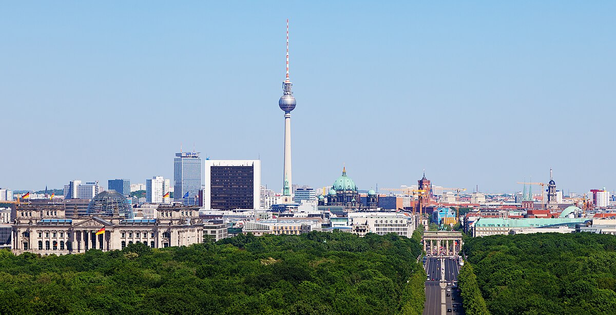
Luther-Friedhof
1.6 km away

Fliegerberg
2.3 km away

Dietrich-Bonhoeffer-Gemeinde
2.0 km away
Image credits
- Schlehenberg (header image): Photo: Membeth (CC0) · Wikimedia Commons
- Dorfkirche Marienfelde: © ErnstA (CC BY-SA 3.0) · Wikimedia Commons
- Freizeitpark Marienfelde: © Harald Rossa (CC BY-SA 2.5) · Wikimedia Commons
- Gutspark Marienfelde: © User:Harald Rossa (CC BY-SA 2.5) · Wikimedia Commons
- Vom Guten Hirten: © Harald Rossa (CC BY-SA 2.5) · Wikimedia Commons
- Erinnerungsstätte Notaufnahmelager Marienfelde: © Bundesarchiv, B 145 Bild-F005835-0004 / Müller, Simon / CC-BY-SA 3.0 (CC BY-SA 3.0 DE) · Wikimedia Commons
- Luther-Friedhof: © Thomas Wolf, www.foto-tw.de (CC BY-SA 3.0) · Wikimedia Commons
- Dietrich-Bonhoeffer-Gemeinde: © OTFW, Berlin (CC BY-SA 3.0) · Wikimedia Commons