
Nature2b6c311d…81b4
Bußberg
Tallest Peak in Steinhagen's Teutoburg Forest
Checking in counts toward these achievements:
Bielefeld: First Steps10 pts
Bielefeld: Explorer25 pts
Bielefeld: Insider50 pts
Rising to 306.2 meters above sea level, Bußberg is the highest point in the municipality of Steinhagen. It is located in the Amshausen district, bordering the Bielefeld districts of Dornberg and Kirchdornberg.
Guided Story
You're standing at Bußberg, which rises to 306.2 meters above sea level, marking the highest point in the municipality of Steinhagen. Located in the Amshausen district, it borders the Bielefeld districts of Dornberg and Kirchdornberg. As you walk around, notice how the Teutoburg Forest gently frames this natural peak. It's a special area where nature thrives undisturbed. You might feel the gentle breeze rustling the treetops. A perfect spot to soak in the calm and grandeur of the landscape.
Did you know?
Bußberg is the tallest elevation in the municipality of Steinhagen.
Location
Nearby

Krebsbach- und Horstbachtal
1.2 km away

Peterskirche Kirchdornberg
1.5 km away

Hünenburg
3.5 km away

Hünenburg Telecommunication Tower
3.6 km away

Heilig-Geist-Kirche
3.3 km away
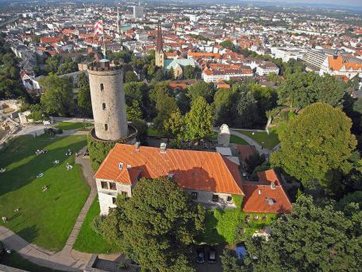
Sennberg
2.7 km away

Oberes Johannisbachtal mit Nebentälern
3.4 km away

Ruine des Jostbergklosters
4.7 km away
Image credits
- Bußberg (header image): © Zefram (CC BY 2.0 DE) · Wikimedia Commons
- Krebsbach- und Horstbachtal: Photo (CC0) · Wikimedia Commons
- Peterskirche Kirchdornberg: © G8w (CC BY-SA 3.0) · Wikimedia Commons
- Hünenburg: © Hopfenpflücker (CC BY-SA 3.0) · Wikimedia Commons
- Hünenburg Telecommunication Tower: © Zefram (CC BY 2.0 DE) · Wikimedia Commons
- Heilig-Geist-Kirche: © Ansgar Walk (CC BY-SA 2.0 DE) · Wikimedia Commons
- Sennberg: © InnovativeSights (CC BY-SA 3.0) · Wikimedia Commons
- Oberes Johannisbachtal mit Nebentälern: Photo: Ath (CC0) · Wikimedia Commons
- Ruine des Jostbergklosters: © Grugerio (CC BY-SA 3.0) · Wikimedia Commons