
Other3efb3b48…3651
Lesumsperrwerk
Flood protection and a bridge for communities.
Checking in counts toward these achievements:
Bremen: First Steps10 pts
Bremen: Explorer25 pts
Bremen: Insider50 pts
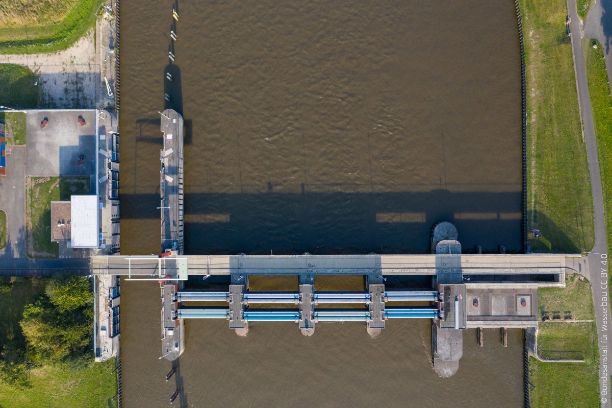
The Lesumsperrwerk in Bremen is both a flood barrier and a bridge connecting the northern districts of Grohn and Werderland. Built between 1971 and 1974, it is located about a kilometer upstream from where the Lesum meets the Weser. Since the 1990s, it has been operated by the Bremian Dyke Association on the right bank of the Weser.
Audio Guide
0:000:41
Did you know?
It was operated by the Bremen Water Management Office until the 1990s.
Location
Nearby


Image credits
- Lesumsperrwerk (header image): © Federal Waterways Engineering and Research Institute (CC BY 2.0) · Wikimedia Commons
- Haus Seefahrt: © Jens Frommann (CC BY-SA 3.0) · Wikimedia Commons
- Constructor University: © IUB (CC BY-SA 3.0) · Wikimedia Commons
- Interfaith House: © Dr. Bernd Gross (CC BY-SA 3.0) · Wikimedia Commons
- Villa Rauch: © Quarz (CC BY-SA 3.0) · Wikimedia Commons
- Lesum: © Bjørn Fritsche (CC BY-SA 2.5) · Wikimedia Commons
- St. Michaelskirche: © Joern M (CC BY-SA 3.0) · Wikimedia Commons
- Bremen-Vegesack: © Clic (CC BY-SA 4.0) · Wikimedia Commons