
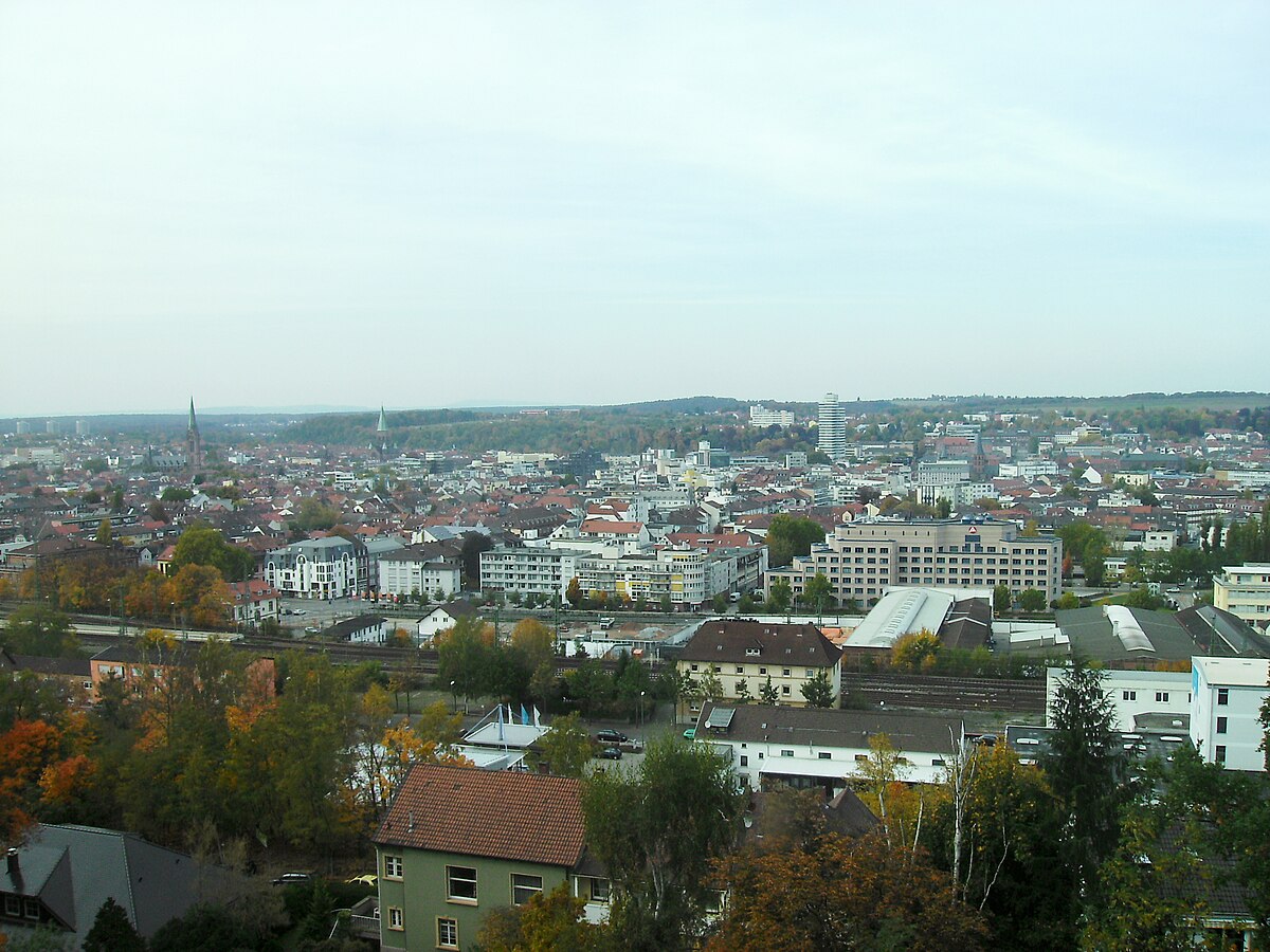
Photo from Kaiserslautern
Monument9084d577…8f67
Ritterstein 145 "Horterkopf Schanze 1793–94"
Prussian Fort from the Revolutionary Wars
Checking in counts toward these achievements:
Kaiserslautern: First Steps10 pts
Kaiserslautern: Explorer25 pts
Kaiserslautern: Insider50 pts
Located northwest of the road from Hochspeyer to Johanniskreuz on the Harten Kopf, this Prussian fortification dates back to the Revolutionary Wars of 1793 to 1794. Partially visible, it was constructed during the First Coalition War and is made of sandstone.
Did you know?
The fortification was built during the First Coalition War.
Location
Nearby

Harterkopf
66 m away
Ritterstein 144 "Schanze 1793/94"
312 m away
Ritterstein 146 "Dammbrunnen"
688 m away
Italienerstein
1.2 km away
Brotpfadkopf
1.7 km away
Ritterstein 153 "Hungerbrunnen"
1.8 km away
Ritterstein 139 "Otterbergersohl"
1.9 km away
Ritterstein 264 "Scheidhütte Niliusburg"
2.4 km away
Image credits
- Ritterstein 145 "Horterkopf Schanze 1793–94" (header image): © EPei (CC BY-SA 3.0) · Wikimedia Commons
- Harterkopf: © Pfalz39 (CC BY-SA 3.0) · Wikimedia Commons