
TrailEasyc3e84c34…4fab
Viewpoints of Reutlingen
Discover Reutlingen's stunning viewpoints
5 StopsEstimated Duration: 69 minutes
The 3.61 km "Viewpoints in Reutlingen" trail takes you on a 69-minute journey from historic structures to breathtaking panoramas. Starting at the Gartentor, an impressive example of medieval fortification, you traverse scenic landscapes to highlights like the Scheibengipfel, offering stunning views of the Achalm. The trail culminates at the Achalm Tower, where a panoramic view of the region unfolds before you.
Did you know? — Gartentor
At 36 meters high, the Gartentor is one of the tallest structures of the city wall.
Listen
English
 English
Viewpoints of Reutlingen — English
0:000:40
Trail Route
Route and stops
Walking routeConnector distances follow the accepted pedestrian network route. This is a route overview, not turn-by-turn navigation.
Live next-stop guide
Your location stays in this browser and is used only while the guide is on.
1
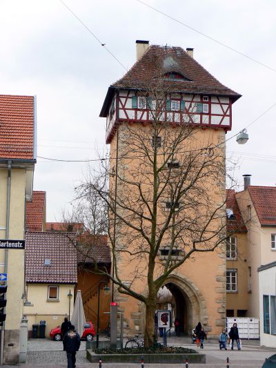
Gartentor
Viewpoint
330 mStop 1 to stop 2
2
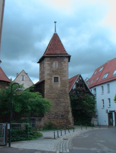
Kesselturm
Viewpoint
160 mStop 2 to stop 3
3
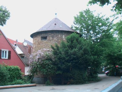
Eisturm
Viewpoint
1.7 kmStop 3 to stop 4
4
Scheibengipfel
Viewpoint
1.4 kmStop 4 to stop 5
Evidence and review:
- AI-generated
- Automatically approved by policy
- Not editorially reviewed
More trails in Reutlingen


Image credits
- Viewpoints of Reutlingen (header image): © Muck (CC BY-SA 4.0) · Wikimedia Commons
- Gartentor: © dierk schaefer (CC BY 2.0) · Wikimedia Commons
- Kesselturm: © Wirtu (CC BY-SA 3.0) · Wikimedia Commons
- Eisturm: Photo: Wirtu (CC0) · Wikimedia Commons
- Reutlingen Through the Ages: © Laserlicht (CC BY-SA 4.0) · Wikimedia Commons
- Towers & Views of Reutlingen: © Helmlechner (CC BY-SA 3.0) · Wikimedia Commons