
Muséef44a78fa…f917
Topography of Terror
Exploring the Roots of Terror in Berlin
Votre visite compte pour ces réussites :
Berlin: Premiers pas10 pts
Berlin: Explorateur25 pts
Berlin: Initié50 pts
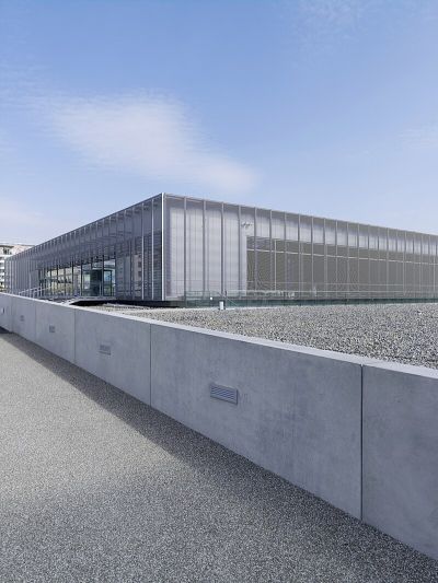
The Topography of Terror in Berlin-Kreuzberg examines the horrors of the Nazi era through permanent and special exhibitions. Opened in 2010, the documentation center includes an outdoor exhibition and a historical site tour. A library provides further resources for deeper exploration.
Audioguide
English
0:000:41
Le saviez-vous ?
The project has been ongoing since 1987.
En bref
- Fondation
- 2010
- Date d’ouverture
- 2010
- Horaires d’ouverture
- Lun-Dim 10:00-20:00
- Accès en fauteuil roulant
- Entièrement accessible
- Site web
- topographie.de
- Téléphone
- +49 30 2545090
Localisation
À proximité

Gropius-Bau
149 m de distance

Dokumentationszentrum Flucht, Vertreibung, Versöhnung
200 m de distance

Heinrich Friedrich Karl vom und zum Stein
210 m de distance

Karl August von Hardenberg
187 m de distance

Portico of the destroyed Anhalter Station
309 m de distance

Askanischer Platz
260 m de distance

Deutsche Kinemathek – Museum für Film und Fernsehen
332 m de distance

St. Lukas-Kirche
293 m de distance
Crédits photographiques
- Topography of Terror (image d’en-tête): © Stiftung Topographie des Terrors (CC BY-SA 3.0 DE) · Wikimedia Commons
- Dokumentationszentrum Flucht, Vertreibung, Versöhnung: © Molgreen (CC BY-SA 4.0) · Wikimedia Commons
- Heinrich Friedrich Karl vom und zum Stein: © Manfred Brückels (CC BY-SA 3.0) · Wikimedia Commons
- Karl August von Hardenberg: Photo : Gary Todd from Xinzheng, China (CC0) · Wikimedia Commons
- Askanischer Platz: © Fridolin freudenfett (Peter Kuley) (CC BY-SA 3.0) · Wikimedia Commons
- Deutsche Kinemathek – Museum für Film und Fernsehen: Photo : Kristof Roomp (CC0) · Wikimedia Commons
- St. Lukas-Kirche: Photo : Bodo Kubrak (CC0) · Wikimedia Commons