
Nature0be43ab1…3f04
Feuchtgebiet bei Meyer zu Stieghorst
Nature preserved: A wetland sanctuary since 1991
Votre visite compte pour ces réussites :
Bielefeld: Premiers pas10 pts
Bielefeld: Explorateur25 pts
Bielefeld: Initié50 pts
Since 1991, the wetland at Meyer zu Stieghorst has provided a protected habitat for diverse plant and animal species. This sanctuary in Bielefeld offers a glimpse into nature's pristine beauty.
Récit guidé
You're standing at the wetland at Meyer zu Stieghorst, established in 1991 as a nature reserve. This sanctuary in Bielefeld offers a protected habitat for a diverse range of plants and animals. Keep an eye out for the vibrant birdlife that calls this place home. Here, nature is preserved in its pristine form, away from the hustle and bustle of the city. Take a moment to listen to the sounds of nature and breathe in the fresh air as you explore the rich diversity of flora and fauna around you.
Le saviez-vous ?
The wetland was established in 1991.
En bref
- Fondation
- 1991
Localisation
À proximité

Sankt Lukaskirche
812 m de distance

MuMa - Murnau & Massolle Forum
1.8 km de distance

St. Bonifatius-Kirche
1.3 km de distance
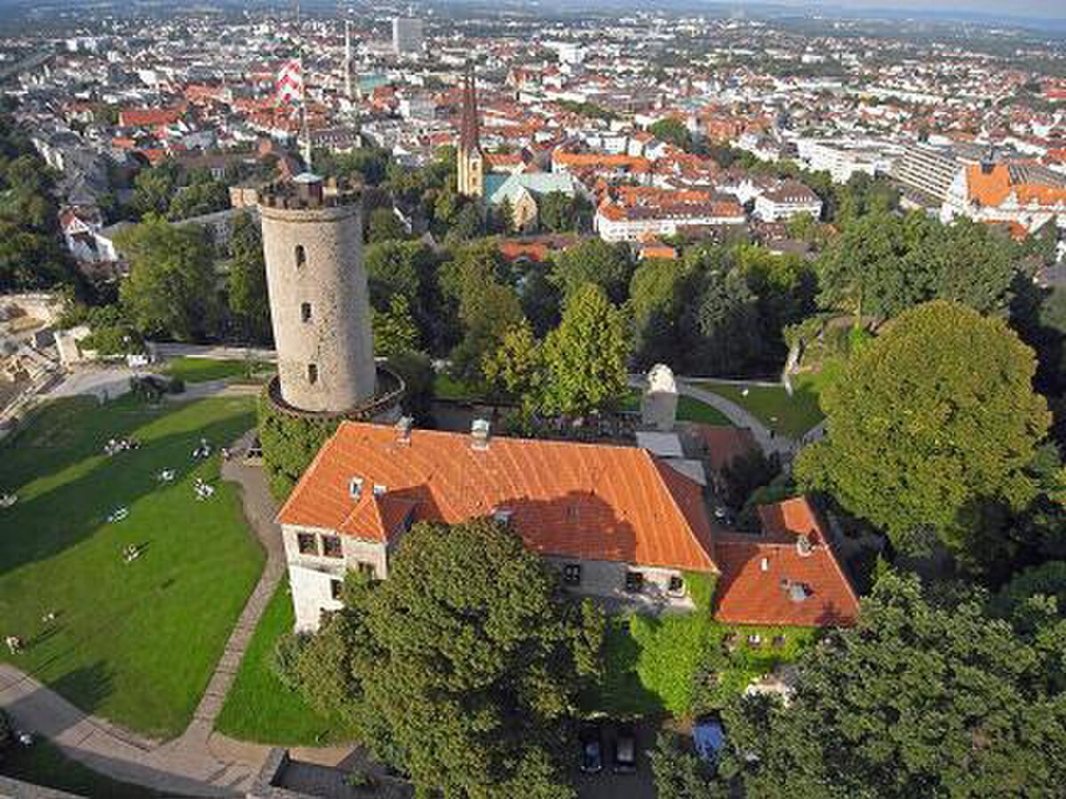
Evangelische Kirche Stieghorst
956 m de distance

Auf dem Kort
2.2 km de distance

Quellen und Bäche im Karstareal
3.0 km de distance

Friedhof Sieker
2.8 km de distance

Ehemaliges Gipsabbaugebiet
2.9 km de distance
Crédits photographiques
- Feuchtgebiet bei Meyer zu Stieghorst (image d’en-tête): © M.Listander (CC BY-SA 4.0) · Wikimedia Commons
- Sankt Lukaskirche: © Hagar66 (CC BY-SA 3.0) · Wikimedia Commons
- MuMa - Murnau & Massolle Forum: © Dr. Peter Schneider (CC BY-SA 4.0) · Wikimedia Commons
- St. Bonifatius-Kirche: © GeorgDerReisende (CC BY-SA 4.0) · Wikimedia Commons
- Evangelische Kirche Stieghorst: © InnovativeSights (CC BY-SA 3.0) · Wikimedia Commons
- Auf dem Kort: Photo : Ath (CC0) · Wikimedia Commons
- Quellen und Bäche im Karstareal: Photo : Ath (CC0) · Wikimedia Commons
- Friedhof Sieker: © Kompetenter (CC BY-SA 4.0) · Wikimedia Commons
- Ehemaliges Gipsabbaugebiet: Photo : Ath (CC0) · Wikimedia Commons