
Naturec59c4d3e…37fa
Dommerberg
Darmstadt's highest peak amidst lush forest
Votre visite compte pour ces réussites :
Darmstadt: Premiers pas10 pts
Darmstadt: Explorateur25 pts
Darmstadt: Initié50 pts
Just 2 km southeast of Darmstadt's city center, the Dommerberg rises to 263.6 meters above sea level. This heavily forested hill is the area's highest elevation, providing a natural sanctuary close to urban life. It's an ideal spot for nature enthusiasts looking for a green escape.
Récit guidé
Standing here at the Dommerberg, you're at the highest point in the Darmstadt area. Rising 263.6 meters above sea level, this heavily forested hill is just 2 kilometers southeast of the city center. Look around and you'll notice how the dense woods create a natural retreat amidst the urban hustle. Just 42 meters southwest, you can spot the Bismarckturm, a well-known viewpoint. Enjoy the tranquility and greenery surrounding you – a true delight for nature enthusiasts.
Le saviez-vous ?
The Dommerberg is the highest elevation in the Darmstadt area.
Sur ces parcours
Natural Landmarks of DarmstadtÉtape 2 sur 7
Localisation
À proximité

Bismarckturm Darmstadt
42 m de distance

Herrgottsberg
758 m de distance

Klipstein Grab
914 m de distance

Merck-Stadion am Böllenfalltor
1.6 km de distance

Ludwigsturm
1.4 km de distance
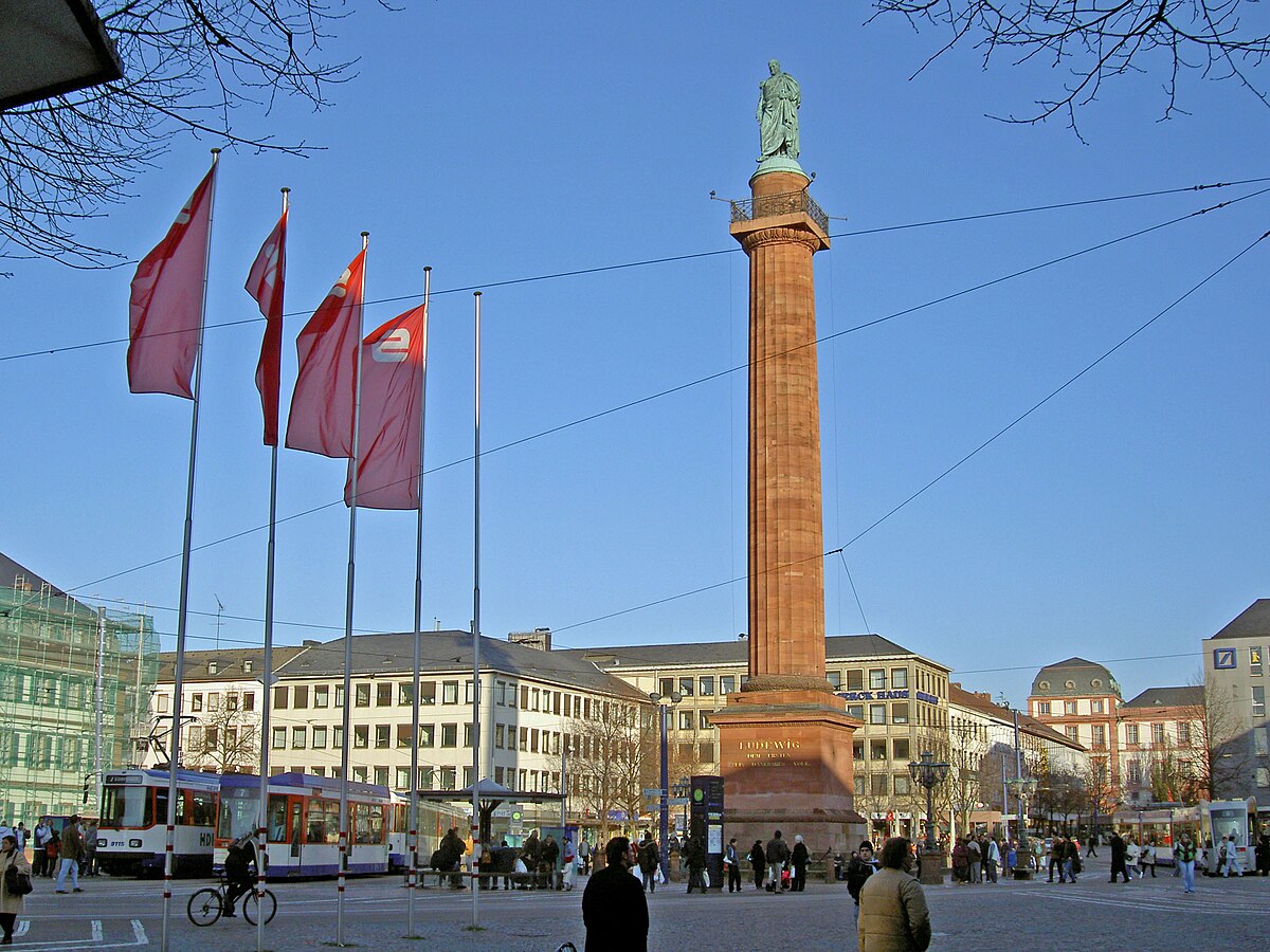
Wilbrandhöhe
1.1 km de distance

Ludwigshöhe
1.4 km de distance
Martinskapelle
823 m de distance
Crédits photographiques
- Dommerberg (image d’en-tête): © Axel Polsfuss (CC BY-SA 4.0) · Wikimedia Commons
- Bismarckturm Darmstadt: © Muck (CC BY-SA 4.0) · Wikimedia Commons
- Herrgottsberg: © https://www.flickr.com/photos/froutes/2489463897/in/photostream/ (CC BY 3.0) · Wikimedia Commons
- Klipstein Grab: © Danymu (CC BY-SA 4.0) · Wikimedia Commons
- Merck-Stadion am Böllenfalltor: © Thorsten Halm (CC BY-SA 3.0) · Wikimedia Commons
- Ludwigsturm: © Muck (CC BY-SA 4.0) · Wikimedia Commons
- Wilbrandhöhe: © Heidas (CC BY-SA 3.0) · Wikimedia Commons
- Ludwigshöhe: © Erkaha (CC BY-SA 4.0) · Wikimedia Commons