
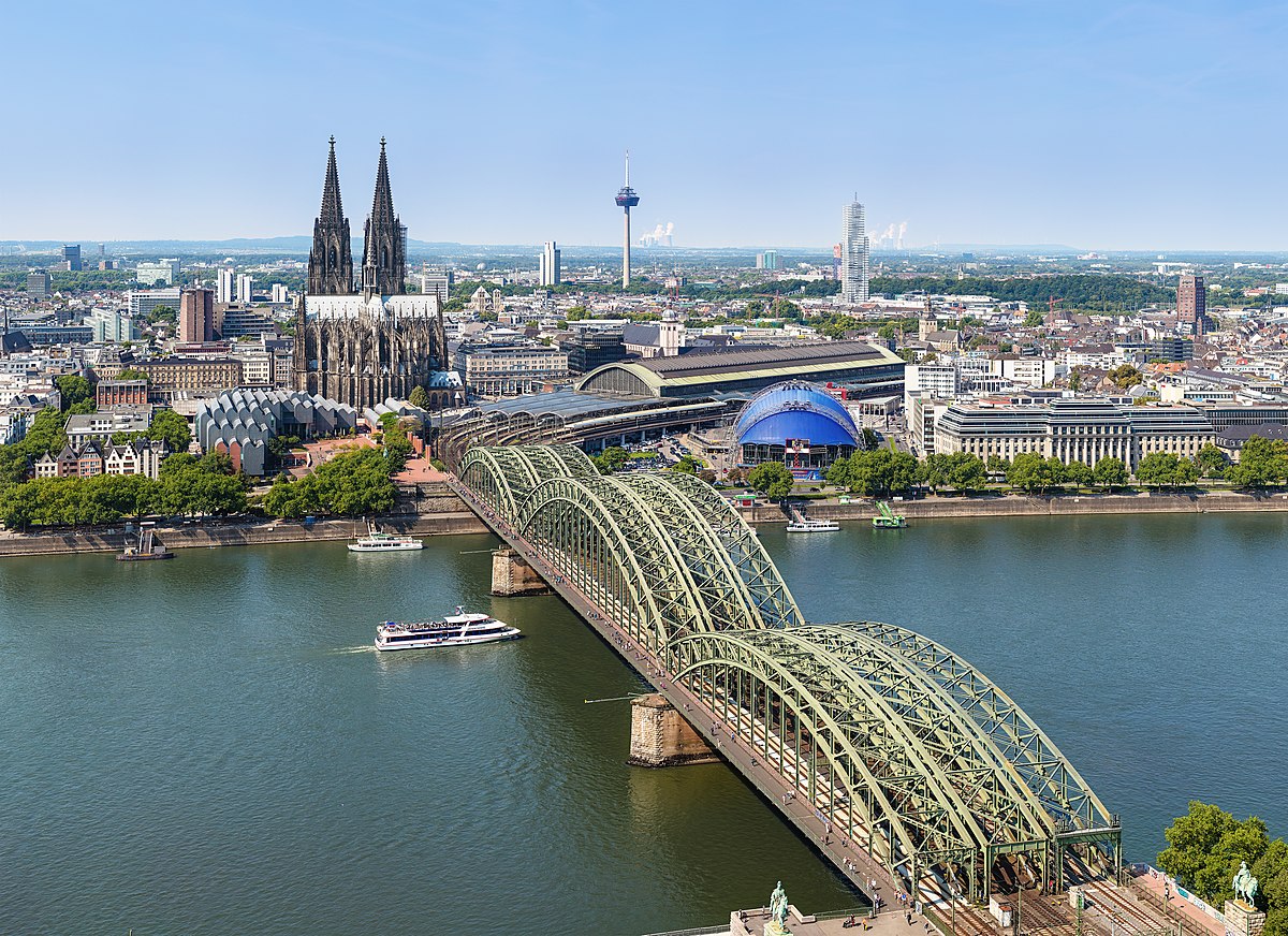
Photo de Köln
Parc79ee7223…7b6b
Nippeser Tälchen
Ancient green space shaped by the Rhine
Votre visite compte pour ces réussites :
Köln: Premiers pas10 pts
Köln: Explorateur25 pts
Köln: Initié50 pts
Nestled in Cologne's Nippes district, the Nippeser Tälchen occupies a depression formed by a branch of the Rhine around 5000 years ago. Once a Roman settlement, it hosted a lake used as a fish pond until the early 20th century.
Récit guidé
Imagine standing in a landscape carved by a branch of the Rhine some 5000 years ago. This very spot was once settled by the Romans. The Nippeser Tälchen is more than just a park; it's a place with a rich history. Until the early 20th century, this area hosted a lake used as a fish pond. You might feel a sense of the past as you wander through this green space. As you look around, you can spot the Mariensaal church to the southwest. It's intriguing how history and nature intertwine here.
Le saviez-vous ?
A branch of the Rhine shaped the depression 5000 years ago.
Localisation
À proximité

Mariensaal
365 m de distance

St. Heinrich und Kunigund
412 m de distance

Planetarium und Sternwarte Köln
572 m de distance
Königreichssaal Jehovas Zeugen (Nippes)
253 m de distance

Weidenpescher Park
816 m de distance

Edelweißpiraten
510 m de distance
Schmelztiegel Nippes
357 m de distance
Bunkermuseum RAW Nippes
758 m de distance
Crédits photographiques
- Nippeser Tälchen (image d’en-tête): © Thomas Wolf, www.foto-tw.de (CC BY-SA 3.0 DE) · Wikimedia Commons
- Mariensaal: © Chris06 (CC BY-SA 4.0) · Wikimedia Commons
- St. Heinrich und Kunigund: © Chris06 (CC BY-SA 4.0) · Wikimedia Commons
- Planetarium und Sternwarte Köln: © Puia Zahedi (CC BY-SA 4.0) · Wikimedia Commons
- Weidenpescher Park: © daniel zimmel from bonn, germany (CC BY-SA 2.0) · Wikimedia Commons
- Edelweißpiraten: © 1971markus@wikipedia.de / Cc-by-sa-4.0 (CC BY-SA 4.0) · Wikimedia Commons