
Point de vue4a09a3a0…00d9
Naumeter Kupp
Summit cross with a geodetic reference point
Votre visite compte pour ces réussites :
Trier: Premiers pas10 pts
Trier: Explorateur25 pts
Trier: Initié50 pts
Located between Korlingen, Trier-Tarforst, and Waldrach/Ruwertal, the Naumeter Kupp features a summit cross. Nearby, a triangulation point provides an exact geodetic reference.
Récit guidé
Standing here on the Naumeter Kupp, you're at an elevation of 343.9 meters above sea level. Right in front of you is the distinctive summit cross, a key feature of this viewpoint. Nearby, you'll notice a triangulation point. It's a testament to the precise geodetic measurements taken here, marking the importance of this spot in surveying. The panorama around you stretches between Korlingen, Trier-Tarforst, and the Ruwertal, offering a sweeping view of the landscape. Feel the gentle breeze as it whispers over the summit, adding to the serene experience of the Naumeter Kupp.
Le saviez-vous ?
The triangulation point near the summit serves as a geodetic reference.
Localisation
À proximité
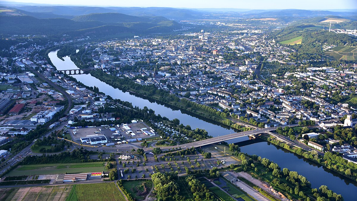
Schellberg
1.4 km de distance

Irscher Burg
3.4 km de distance

St. Luzia
2.3 km de distance

Kuppensteiner Wild
3.2 km de distance

Sankt Georg
3.3 km de distance

Kirche St. Andreas
2.8 km de distance

Thiels-Burg
4.3 km de distance
Wehrtechnische Dienststelle für landgebundene Fahrzeugsysteme, Pionier- und Truppentechnik
3.8 km de distance
Crédits photographiques
- Naumeter Kupp (image d’en-tête): © Waldrach (CC BY-SA 3.0) · Wikimedia Commons
- Schellberg: © Wolkenkratzer (CC BY-SA 4.0) · Wikimedia Commons
- Irscher Burg: © Berthold Werner (CC BY-SA 4.0) · Wikimedia Commons
- St. Luzia: © P170 (CC BY-SA 4.0) · Wikimedia Commons
- Kuppensteiner Wild: © Posaunerich (CC BY-SA 3.0) · Wikimedia Commons
- Sankt Georg: © Berthold Werner (CC BY-SA 4.0) · Wikimedia Commons
- Kirche St. Andreas: © Thomas Holbach (CC BY-SA 3.0) · Wikimedia Commons
- Thiels-Burg: © Berthold Werner (CC BY-SA 3.0) · Wikimedia Commons