
TrailModerated0c8c489…5b60
Waterfront Trail München — Discovery 3
Explore Munich's waterways and bridges
4 StopsEstimated Duration: 88 minutes
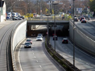
This 5.61 km walk takes you in about 88 minutes from the impressive Hochbrücke Freimann to the Effnertunnel. The route follows Munich's waterways, offering fascinating insights into the city's engineering and natural beauty. You'll cross the Sankt-Emmeram Bridge, an essential link for pedestrians and cyclists, before reaching the Oberföhring Weir, which regulates the flow of the Isar River. The walk concludes at the Effnertunnel, a crucial component of the city's transport network.
Did you know? — Hochbrücke Freimann
The bridge is called Tatzelwurm due to its shape.
Listen
English
 English
Waterfront Trail München — Discovery 3 — English
0:000:55
Trail Route
Route and stops
Walking routeConnector distances follow the accepted pedestrian network route. This is a route overview, not turn-by-turn navigation.
Live next-stop guide
Your location stays in this browser and is used only while the guide is on.
1
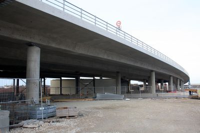
Hochbrücke Freimann
Bridge
1.9 kmStop 1 to stop 2
2
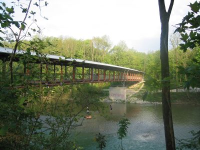
Sankt-Emmeram-Brücke
Bridge
1.4 kmStop 2 to stop 3
3
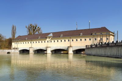
Stauwehr Oberföhring
Nature
2.3 kmStop 3 to stop 4
Evidence and review:
- AI-generated
- Automatically approved by policy
- Not editorially reviewed
More trails in München


Image credits
- Hochbrücke Freimann: © Bjs (CC BY-SA 3.0) · Wikimedia Commons
- Sankt-Emmeram-Brücke: © Wiggum (CC BY 2.5) · Wikimedia Commons
- Stauwehr Oberföhring: © Richard Bartz (CC BY-SA 2.5) · Wikimedia Commons
- Highlights of München: © Carsten Steger (CC BY-SA 4.0) · Wikimedia Commons
- Discover München: © Flummi-2011 (CC BY-SA 3.0) · Wikimedia Commons
- Heritage Sites in München: © Oliver Kurmis (CC BY 2.0) · Wikimedia Commons