
Naturedb24a324…1f86
Kottenforst (Venner Allee)
A forest gem in Rhineland Nature Park
Votre visite compte pour ces réussites :
Bonn: Premiers pas10 pts
Bonn: Explorateur25 pts
Bonn: Initié50 pts
Situated southwest of Bonn, the Kottenforst covers approximately 40 square kilometers, marking the eastern boundary of the Rhineland Nature Park. This expansive forest area provides a stunning backdrop for nature enthusiasts and those seeking relaxation.
Audioguide
English
0:000:42
Le saviez-vous ?
The Kottenforst is part of one of Germany's largest nature parks.
Localisation
À proximité

Jakobskreuz
838 m de distance

Jägerhäuschen
1.0 km de distance

Kaisereiche
1.0 km de distance

Kottenforst (Langer Weg)
1.3 km de distance

Dicke Eiche
1.1 km de distance

Wallfahrtskreuz
1.1 km de distance

St. Venantius-Kapelle
2.1 km de distance
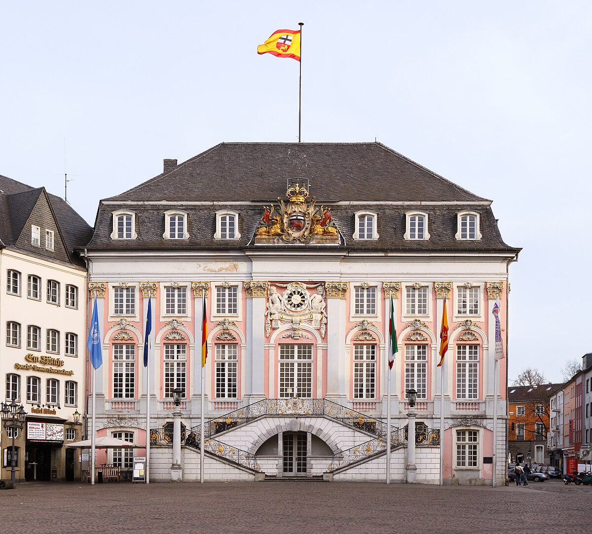
Thomaskirche
2.3 km de distance
Crédits photographiques
- Kottenforst (Venner Allee) (image d’en-tête): © The original uploader was Harri Beau at German Wikipedia. (CC BY-SA 3.0 DE) · Wikimedia Commons
- Jakobskreuz: © Hagman (CC BY-SA 3.0 DE) · Wikimedia Commons
- Jägerhäuschen: © Dickbauch (CC BY-SA 3.0) · Wikimedia Commons
- Kaisereiche: © Dickbauch (CC BY-SA 3.0) · Wikimedia Commons
- Kottenforst (Langer Weg): © Karsten von Berg (CC BY-SA 4.0) · Wikimedia Commons
- Dicke Eiche: © ToLo46 (CC BY-SA 4.0) · Wikimedia Commons
- Wallfahrtskreuz: © Andreas Axel Kirch / CC BY-SA 4.0 (via Wikimedia Commons) (CC BY-SA 4.0) · Wikimedia Commons
- St. Venantius-Kapelle: © Hagen von Eitzen (CC BY-SA 3.0) · Wikimedia Commons
- Thomaskirche: © Thomas Wolf, www.foto-tw.de (CC BY-SA 3.0) · Wikimedia Commons