
Naturecf22b10f…278f
Kottenforst (Langer Weg)
A natural haven on Bonn's edge
Votre visite compte pour ces réussites :
Bonn: Premiers pas10 pts
Bonn: Explorateur25 pts
Bonn: Initié50 pts
The Kottenforst is a sprawling 40 km² forest area located in the southwest of Bonn, forming part of the Rhineland Nature Park. Established in 1986, it marks the eastern boundary of this expansive protected area. The Kottenforst Terrace extends the area's natural diversity beyond the forest itself.
Audioguide
English
0:000:40
Le saviez-vous ?
The Kottenforst was established in 1986.
En bref
- Fondation
- 1986
Localisation
À proximité

Kottenforst (Venner Allee)
1.3 km de distance

Jakobskreuz
1.3 km de distance

St. Venantius-Kapelle
1.3 km de distance

Jägerhäuschen
2.2 km de distance

Wallfahrtskreuz
1.6 km de distance

Kaisereiche
2.2 km de distance

Göttchesbach
2.1 km de distance
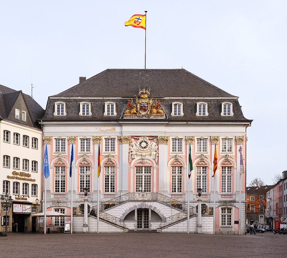
Thomaskirche
1.7 km de distance
Crédits photographiques
- Kottenforst (Langer Weg) (image d’en-tête): © Karsten von Berg (CC BY-SA 4.0) · Wikimedia Commons
- Kottenforst (Venner Allee): © The original uploader was Harri Beau at German Wikipedia. (CC BY-SA 3.0 DE) · Wikimedia Commons
- Jakobskreuz: © Hagman (CC BY-SA 3.0 DE) · Wikimedia Commons
- St. Venantius-Kapelle: © Hagen von Eitzen (CC BY-SA 3.0) · Wikimedia Commons
- Jägerhäuschen: © Dickbauch (CC BY-SA 3.0) · Wikimedia Commons
- Wallfahrtskreuz: © Andreas Axel Kirch / CC BY-SA 4.0 (via Wikimedia Commons) (CC BY-SA 4.0) · Wikimedia Commons
- Kaisereiche: © Dickbauch (CC BY-SA 3.0) · Wikimedia Commons
- Göttchesbach: © Hydro Graf (CC BY-SA 4.0) · Wikimedia Commons
- Thomaskirche: © Thomas Wolf, www.foto-tw.de (CC BY-SA 3.0) · Wikimedia Commons