
TrailModerate98b1cd2d…35cf
Squares of Augsburg
Explore Augsburg's historic squares and heritage
7 StopsEstimated Duration: 85 minutes
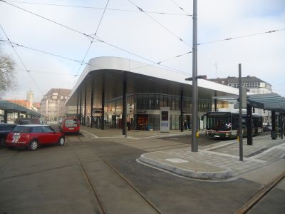
The "Plätze in Augsburg" trail takes you on a 4.13 km journey through the city's captivating history. Starting at the Ensemble Siedlung Proviantbachquartier, known for its striking brick worker housing, the route moves through the Textilviertel, reflecting Augsburg's industrial past. Elias-Holl-Platz offers a tranquil, shaded spot before you finally reach the bustling Königsplatz, a major transit hub. This route links historic architecture with the vibrant life of the city.
Did you know? — Ensemble Siedlung Proviantbachquartier
In 1910, the nearby Werk IV: Aumühle was built.
Listen
English
 English
Squares of Augsburg — English
0:000:48
Trail Route
Route and stops
Walking routeConnector distances follow the accepted pedestrian network route. This is a route overview, not turn-by-turn navigation.
Live next-stop guide
Your location stays in this browser and is used only while the guide is on.
1
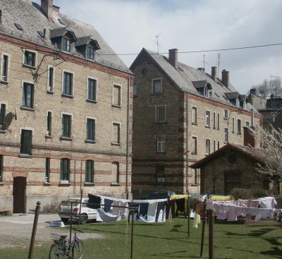
Ensemble Siedlung Proviantbachquartier
Square
1.1 kmStop 1 to stop 2
2

Kammgarnquartier
Square
654 mStop 2 to stop 3
3

Textilviertel
Square
1.6 kmStop 3 to stop 4
4
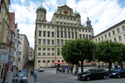
Elias-Holl-Platz
Square
191 mStop 4 to stop 5
5
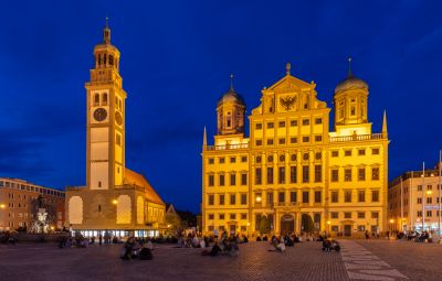
Rathausplatz
Square
230 mStop 5 to stop 6
6
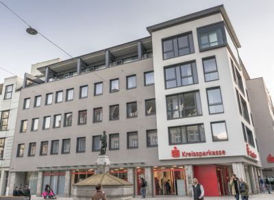
Martin-Luther-Platz
Square
290 mStop 6 to stop 7
Evidence and review:
- AI-generated
- Automatically approved by policy
- Not editorially reviewed
More trails in Augsburg


Image credits
- Squares of Augsburg (header image): © Mailtosap (CC BY-SA 3.0) · Wikimedia Commons
- Elias-Holl-Platz: © Neitram (CC BY-SA 4.0) · Wikimedia Commons
- Rathausplatz: © Diego Delso (CC BY-SA 4.0) · Wikimedia Commons
- Martin-Luther-Platz: © Tobias "ToMar" Maier (CC BY-SA 3.0) · Wikimedia Commons
- Highlights of Augsburg: © Dark Avenger (CC BY-SA 3.0) · Wikimedia Commons
- Heritage Sites in Augsburg: © Gnomad (CC BY-SA 3.0) · Wikimedia Commons
- Augsburg Through the Ages: © Allie_Caulfield from Germany (CC BY 2.0) · Wikimedia Commons