
TrailEasy5082cc68…45b6
Parks of Bamberg
Discover Bamberg's lush parks
5 StopsEstimated Duration: 62 minutes
The "Parks in Bamberg" trail offers a 3.03 km journey through the city's diverse green spaces. Starting at the Edible City Bamberg, you can experience urban gardening with public raised beds. The trail continues to the serene Rosengarten Geyerswörth, situated in the area of a former castle park. Finally, it concludes at the Harmoniegarten, a cultural heritage site perfect for relaxation.
Did you know? — Essbare Stadt Bamberg
The initiative promotes sustainable urban development through community gardening.
Listen
English
 English
Parks of Bamberg — English
0:000:44
Trail Route
Route and stops
Walking routeConnector distances follow the accepted pedestrian network route. This is a route overview, not turn-by-turn navigation.
Live next-stop guide
Your location stays in this browser and is used only while the guide is on.
1
Essbare Stadt Bamberg
Park
1.8 kmStop 1 to stop 2
2

Rosengarten
Park
688 mStop 2 to stop 3
3
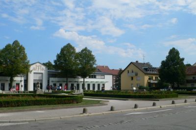
Rosengarten Geyerswörth
Park
467 mStop 3 to stop 4
4
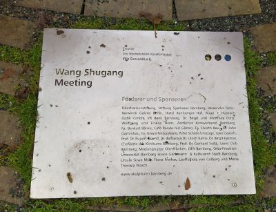
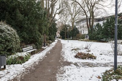
Schönleinsplatz
Park
81 mStop 4 to stop 5
Evidence and review:
- AI-generated
- Automatically approved by policy
- Not editorially reviewed
More trails in Bamberg


Image credits
- Parks of Bamberg (header image): © Reinhard Kirchner (CC BY-SA 3.0) · Wikimedia Commons
- Rosengarten Geyerswörth: © eirian evans (CC BY-SA 2.0) · Wikimedia Commons
- Schönleinsplatz: © Gerd Fahrenhorst (CC BY 4.0) · Wikimedia Commons
- Harmoniegarten: © Tilman2007 (CC BY-SA 4.0) · Wikimedia Commons
- Highlights of Bamberg: © W. Bulach (CC BY-SA 4.0) · Wikimedia Commons
- Heritage Sites in Bamberg: © W. Bulach (CC BY-SA 4.0) · Wikimedia Commons