
Naturebe47e4be…249c
Östlicher Teutoburger Wald (Dornberg)
Diverse natural areas west of Bielefeld
Checking in counts toward these achievements:
Bielefeld: First Steps10 pts
Bielefeld: Explorer25 pts
Bielefeld: Insider50 pts
Comprising four segments, the Eastern Teutoburg Forest is Bielefeld's second-largest nature reserve. It spans the districts of Brackwede, Gadderbaum, Dornberg, and Schildesche. The area is intersected by the L 778 road, with the B 61, L 785, and L 756 outlining its borders.
Audio Guide
0:000:48
Did you know?
The nature reserve was established in 1963.
Quick Facts
- Founded
- 1963
Location
Nearby

Ruine des Jostbergklosters
890 m away

Hünenburg
1.0 km away

Heimat-Tierpark Olderdissen
1.1 km away

Hünenburg Telecommunication Tower
934 m away

Bauernhausmuseum
1.6 km away

Markuskirche
1.2 km away

Heimatmuseum Quelle
983 m away
Blömkeberg
1.1 km away
Image credits
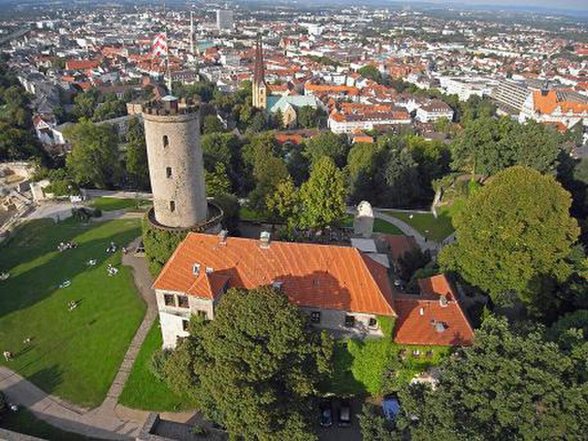
- Östlicher Teutoburger Wald (Dornberg) (header image): Photo: Ath (CC0) · Wikimedia Commons
- Ruine des Jostbergklosters: © Grugerio (CC BY-SA 3.0) · Wikimedia Commons
- Hünenburg: © Hopfenpflücker (CC BY-SA 3.0) · Wikimedia Commons
- Heimat-Tierpark Olderdissen: © Bielibob (CC BY-SA 4.0) · Wikimedia Commons
- Hünenburg Telecommunication Tower: © Zefram (CC BY 2.0 DE) · Wikimedia Commons
- Bauernhausmuseum: © Museumsfreund 123 (CC BY-SA 4.0) · Wikimedia Commons
- Markuskirche: © Hagar66 (CC BY-SA 3.0) · Wikimedia Commons
- Heimatmuseum Quelle: © Muelltonnenschubser (CC BY 3.0) · Wikimedia Commons
- Blömkeberg: © InnovativeSights (CC BY-SA 3.0) · Wikimedia Commons