
Nature586381db…12d2
Nahe
The river that connects two regions
Checking in counts toward these achievements:
Bingen am Rhein: First Steps10 pts
Bingen am Rhein: Explorer25 pts
Bingen am Rhein: Insider50 pts
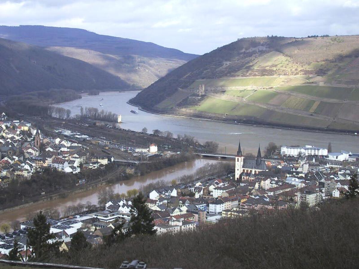
The Nahe, a left tributary of the Rhine, flows 125 kilometers through Saarland and Rhineland-Palatinate. Its confluence in Bingen marks the boundary between the Upper Rhine and Middle Rhine, offering a captivating view of the merging waters.
Audio Guide
0:000:36
Did you know?
The Nahe marks the boundary between the Upper and Middle Rhine at its confluence in Bingen.
Gallery
Location
Nearby

Drususbrücke
285 m away

ehemaliges Kloster am Rupertsberg
411 m away
/bin/hacken
147 m away

Basilica of St. Martin
498 m away

Klopp Castle
552 m away

St. Ruprecht und St. Hildegard
368 m away

Bergfried
542 m away

Stefan-George-Haus
565 m away
Image credits
- Nahe (header image): © The original uploader was Markus Schweiß at German Wikipedia. (CC BY-SA 3.0) · Wikimedia Commons
- Drususbrücke: © Jacquesverlaeken (CC BY-SA 4.0) · Wikimedia Commons
- Basilica of St. Martin: © Manfred Heyde (CC BY-SA 3.0) · Wikimedia Commons
- Klopp Castle: © Peter Weller (CC BY-SA 3.0) · Wikimedia Commons
- St. Ruprecht und St. Hildegard: © Rudolf Stricker (Attribution) · Wikimedia Commons
- Bergfried: © Dguendel (CC BY-SA 3.0) · Wikimedia Commons
- Stefan-George-Haus: © Der wilde bernd (CC BY-SA 4.0) · Wikimedia Commons