
Monument69b4d5c8…3c64
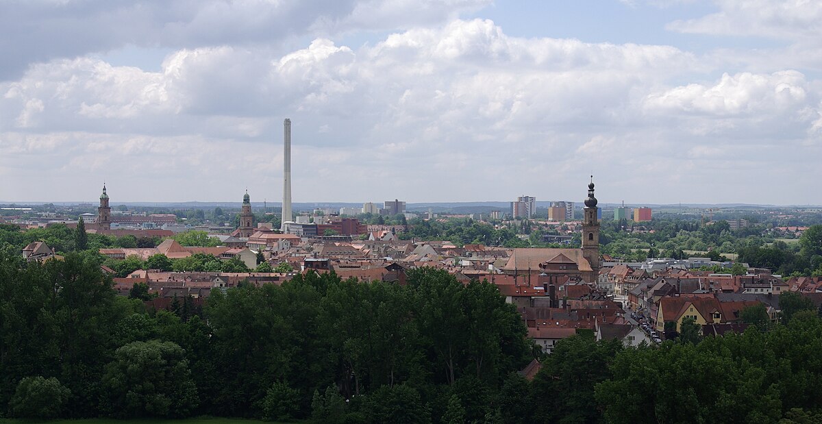
Sebaldussiedlung
Post-war housing on historic forest grounds
Checking in counts toward these achievements:
Erlangen: First Steps10 pts
Erlangen: Explorer25 pts
Erlangen: Insider50 pts
The Sebaldussiedlung in Erlangen was developed after World War II on a clearing of the Sebalder Reichswald. This district's name is derived from the main church of the similarly named area in Nuremberg, highlighting the region's historical significance.
Guided Story
Standing in the Sebaldussiedlung, you're in a district developed after World War II. It was built on a clearing of the Sebalder Reichswald. This forest has a historical link to Nuremberg, named after St. Sebald Church, located north of the Pegnitz River. Such connections highlight the area's historical significance. If you look around, about 151 meters southeast, you'll see the Thomaskirche. Its proximity to the settlement illustrates how the city has grown around these new residential areas.
Did you know?
The Sebalder Reichswald is named after a church in Nuremberg.
Location
Nearby

Thomaskirche
152 m away

St. Sebald
432 m away

Exerzierplatz
886 m away
Röthelheimbad mit Hannah-Stockbauer-Halle
671 m away

Friedrich-Alexander-Universität Erlangen-Nürnberg Südgelände
632 m away

St. Matthäus
1.3 km away

Himbeerpalast
1.7 km away

Pfarramt St. Matthäus
1.3 km away
Image credits
- Sebaldussiedlung (header image): © Christian Lederer (CC BY 3.0) · Wikimedia Commons
- Thomaskirche: © B.S. (CC BY-SA 4.0) · Wikimedia Commons
- St. Sebald: © Janericloebe (CC BY 3.0) · Wikimedia Commons
- Exerzierplatz: © Janericloebe (CC BY 3.0) · Wikimedia Commons
- Friedrich-Alexander-Universität Erlangen-Nürnberg Südgelände: © Akriesch (also de:Benutzer:Akriesch) (CC BY 2.5) · Wikimedia Commons
- St. Matthäus: © Janericloebe (CC BY 3.0) · Wikimedia Commons
- Himbeerpalast: © Janericloebe (CC BY 3.0) · Wikimedia Commons
- Pfarramt St. Matthäus: © Janericloebe (CC BY 3.0) · Wikimedia Commons