
CastleGround Monument22215d5d…c283
Stünenburg
Hidden medieval secrets by the Grüner Bach
Checking in counts toward these achievements:
Iserlohn: First Steps10 pts
Iserlohn: Explorer25 pts
Iserlohn: Insider50 pts
Stünenburg was a lowland castle in the Obergrüne district of Iserlohn, nestled in the Grüner Bach valley. Positioned 18 meters above the valley floor between 'Stünenburg' and 'Alter Grüner Talweg', its remnants are now recognized as an archaeological monument. The castle is believed to have been destroyed in the 15th century.
Audio Guide
0:000:33
Did you know?
The castle was situated at 220 meters above sea level.
Gallery
Location
Nearby

Station Nr. 43 des Preußischen optischen Telegrafen
830 m away

Danzturm
824 m away

Iserlohner Brauerei
801 m away

Schlieperblock
1.6 km away

Ballots Brunnen
1.2 km away
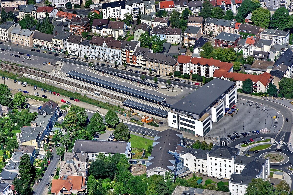
South Westphalia University of Applied Sciences
1.3 km away
Fröndenberg
1.0 km away

Stadtmuseum
2.1 km away
Image credits
- Stünenburg (header image): © Bubo (CC BY-SA 3.0) · Wikimedia Commons
- Station Nr. 43 des Preußischen optischen Telegrafen: © Lencer (CC BY-SA 2.5) · Wikimedia Commons
- Danzturm: © Asio otus (CC BY-SA 3.0) · Wikimedia Commons
- Iserlohner Brauerei: © Bubo (CC BY-SA 3.0) · Wikimedia Commons
- Schlieperblock: © Bubo (CC BY-SA 3.0) · Wikimedia Commons
- Ballots Brunnen: © Bubo bubo / Wikimedia Commons (CC BY-SA 3.0) · Wikimedia Commons
- South Westphalia University of Applied Sciences: © Dr.G.Schmitz (CC BY-SA 3.0) · Wikimedia Commons
- Stadtmuseum: © Asio otus (CC BY-SA 3.0) · Wikimedia Commons