
TrailModeratebb65a527…b89e
Waterfront Trail Mannheim
A walk along Mannheim's captivating waterways.
5 StopsEstimated Duration: 76 minutes
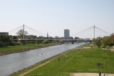
The 'Along the Water in Mannheim' trail takes you on a 4.21 km journey from the impressive Kurt-Schumacher Bridge to the convenient Collini-Steg. Along the way, you can admire the historic Neckarkran, a technical monument reflecting the region's industrial past. The tour ultimately concludes at Collini-Steg, a pedestrian bridge connecting the Neckarstadt-Ost and Innenstadt districts since 1975.
Did you know? — Kurt-Schumacher-Brücke
The bridge was inaugurated on June 28, 1972.
Listen
English
 English
Waterfront Trail Mannheim — English
0:000:50
Trail Route
Route and stops
Walking routeConnector distances follow the accepted pedestrian network route. This is a route overview, not turn-by-turn navigation.
Live next-stop guide
Your location stays in this browser and is used only while the guide is on.
1
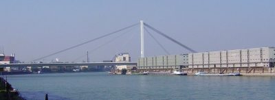
Kurt-Schumacher-Brücke
Bridge
1.8 kmStop 1 to stop 2
2
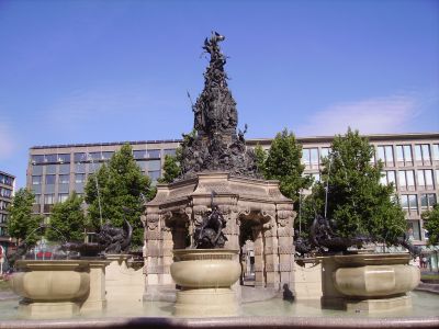
Grupello-Pyramide
Fountain
1.0 kmStop 2 to stop 3
3
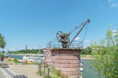
Neckarkran
Monument
618 mStop 3 to stop 4
4
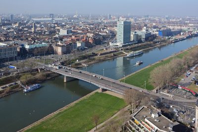
Kurpfalzbrücke
Bridge
777 mStop 4 to stop 5
Evidence and review:
- AI-generated
- Automatically approved by policy
- Not editorially reviewed
More trails in Mannheim


Image credits
- Kurt-Schumacher-Brücke: © Immanuel Giel (CC BY-SA 3.0) · Wikimedia Commons
- Neckarkran: © Flocci Nivis (CC BY 4.0) · Wikimedia Commons
- Kurpfalzbrücke: © Hubert Berberich (HubiB) (CC BY 3.0) · Wikimedia Commons
- Collini-Steg: © Quadratestadt Mannheim Dominik Rossbach / Stadtmarketing Mannheim GmbH (CC BY-SA 2.0) · Wikimedia Commons
- Highlights of Mannheim: © Rudolf Stricker (Attribution) · Wikimedia Commons
- Mannheim Through the Ages: © Frank (CC BY-SA 3.0) · Wikimedia Commons