
TrailHard7a71dd4f…6976
Waterfront Trail München
Discover Munich's historic bridges and fountains
10 StopsEstimated Duration: 136 minutes
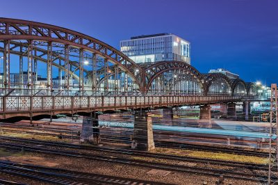
The "By the Water in Munich" trail stretches 7.1 km from Max-Joseph-Brücke to Hackerbrücke, following the River Isar. Start at the Max-Joseph-Brücke, a striking example of Art Nouveau architecture. Along the way, you'll encounter the artistic Vater-Rhein-Brunnen, notable for its Neo-Baroque style. Finally, reach the Hackerbrücke, offering unique views over Munich's main railway lines. This route beautifully combines history and architecture, capturing Munich's charm.
Did you know? — Max-Joseph-Brücke
The bridge is also known as Bogenhausener Brücke.
Listen
English
 English
Waterfront Trail München — English
0:000:47
Trail Route
Route and stops
Walking routeConnector distances follow the accepted pedestrian network route. This is a route overview, not turn-by-turn navigation.
Live next-stop guide
Your location stays in this browser and is used only while the guide is on.
1
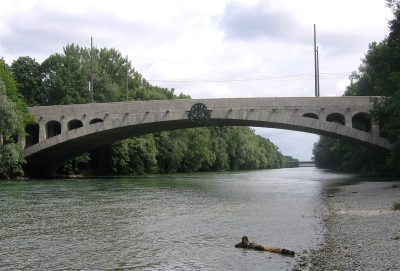
Max-Joseph-Brücke
Bridge
1.0 kmStop 1 to stop 2
2
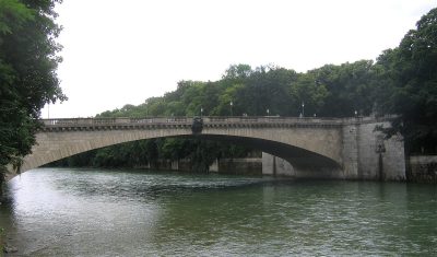
Luitpoldbrücke
Bridge
804 mStop 2 to stop 3
3
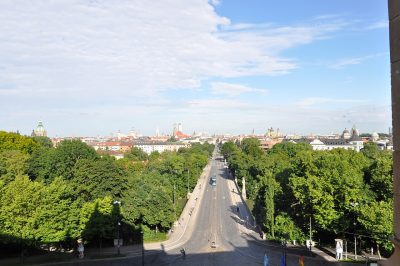
Maximiliansbrücke
Bridge
510 mStop 3 to stop 4
4
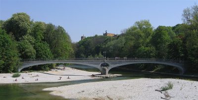
Kabelsteg
Bridge
436 mStop 4 to stop 5
5
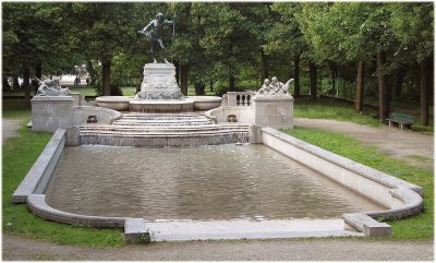
Vater-Rhein-Brunnen
Fountain
1.0 kmStop 5 to stop 6
6
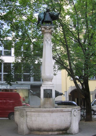
Wolfsbrunnen
Fountain
500 mStop 6 to stop 7
7
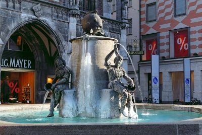
Fischbrunnen (Altstadt-Lehel)
Fountain
107 mStop 7 to stop 8
8
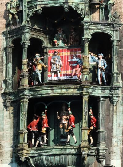
Glockenspiel
Culture & Entertainment
817 mStop 8 to stop 9
9
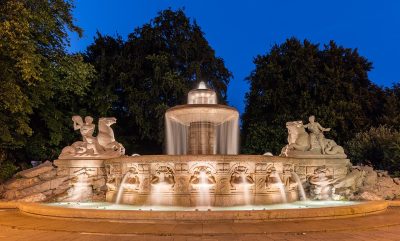
Wittelsbacher Fountain
Fountain
1.9 kmStop 9 to stop 10
Evidence and review:
- AI-generated
- Automatically approved by policy
- Not editorially reviewed
More trails in München


Image credits
- Waterfront Trail München (header image): © Julian Herzog (CC BY 4.0) · Wikimedia Commons
- Max-Joseph-Brücke: © Rufus46 (CC BY-SA 3.0) · Wikimedia Commons
- Luitpoldbrücke: © Rufus46 (CC BY-SA 3.0) · Wikimedia Commons
- Maximiliansbrücke: © Ra Boe / Wikipedia (CC BY-SA 3.0 DE) · Wikimedia Commons
- Kabelsteg: © Rufus46 (CC BY-SA 3.0) · Wikimedia Commons
- Vater-Rhein-Brunnen: © Gschul (CC BY-SA 2.5) · Wikimedia Commons
- Wolfsbrunnen: © Rufus46 (CC BY-SA 3.0) · Wikimedia Commons
- Fischbrunnen (Altstadt-Lehel): © User: Bbb at wikivoyage shared (CC BY-SA 1.0) · Wikimedia Commons
- Glockenspiel: © Burkhard Mücke (CC BY-SA 4.0) · Wikimedia Commons
- Wittelsbacher Fountain: © Diego Delso (CC BY-SA 4.0) · Wikimedia Commons
- Highlights of München: © Carsten Steger (CC BY-SA 4.0) · Wikimedia Commons
- Discover München: © Flummi-2011 (CC BY-SA 3.0) · Wikimedia Commons
- Heritage Sites in München: © Oliver Kurmis (CC BY 2.0) · Wikimedia Commons