Photo from Trier
Culture & Entertainmentb94416d8…be1a
Begehbare geologische Karte von Rheinland-Pfalz
Walk Through 400 Million Years of Earth History
Counts toward these achievements:
Trier: First Steps10 pts
Trier: Explorer25 pts
Trier: Insider50 pts
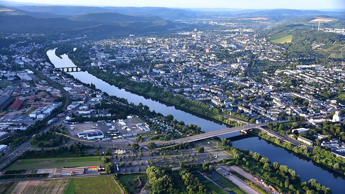
Immerse yourself in the fascinating geology of Rhineland-Palatinate and experience Earth's history up close. This walkable map, built in 2004, takes you on a journey through the region's geological formations. Be amazed by the diversity of rocks and layers, and discover how these landscapes have evolved over millions of years. A place that's not just educational but also truly inspiring.
Be the first to check in here
Did you know?
Completed in 2004, the walkable geological map of Rhineland-Palatinate in Trier offers a unique chance for visitors to literally walk through the region's geological diversity.
Quick Facts
- Founded
- 2004
- Wheelchair Access
- Not accessible
Part of These Trails
Post-War Trier — Walk IIStop 4 of 5
Location
Nearby

Wasserturm
787 m away

Turm Luxemburg
67 m away

Universitätsbibliothek Trier, Lesesaal F
433 m away

Fernmeldeturm Trier-Petrisberg
807 m away

Universitätsbibliothek Trier
1.1 km away

Franzensknüppchen
1.1 km away

Thiels-Burg
1.1 km away

Kürenzer Schlößchen
1.3 km away