
TrailModerate5c4ad237…e135
Waterfront Trail Tübingen
A walk through Tübingen's bridges and fountains.
7 StopsEstimated Duration: 95 minutes
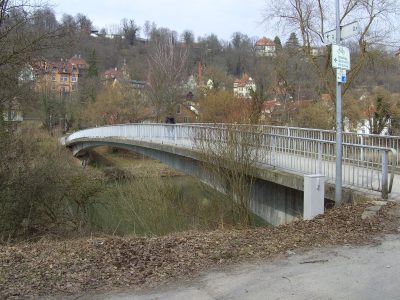
Discover Tübingen's aquatic charm on a roughly 5 km open trail from Ponte Carlo to Neckarsteg. The journey begins with a stroll across the elegant Ponte Carlo footbridge. Continuing on, the Radbrücke Mitte offers a modern crossing with unique city views. The Lützelbrunnen on Österberg stands out with its artistic metal design, captivating visitors. Finally, the tour concludes at the Neckarsteg, where you can enjoy the serene Neckar River.
Listen
English
 English
Waterfront Trail Tübingen — English
0:000:50
Trail Route
Route and stops
Walking routeConnector distances follow the accepted pedestrian network route. This is a route overview, not turn-by-turn navigation.
Live next-stop guide
Your location stays in this browser and is used only while the guide is on.
1
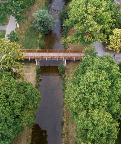
Ponte Carlo
Bridge
1.6 kmStop 1 to stop 2
2
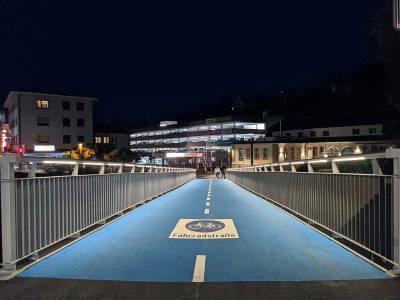
Radbrücke Mitte
Bridge
643 mStop 2 to stop 3
3
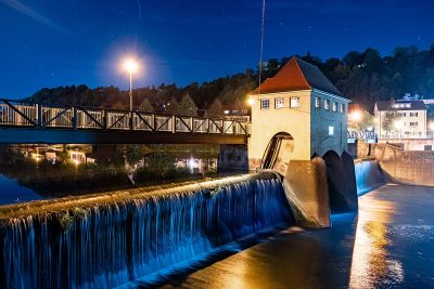
Neckarsteg (Brückenstraße)
Bridge
2 mStop 3 to stop 4
4
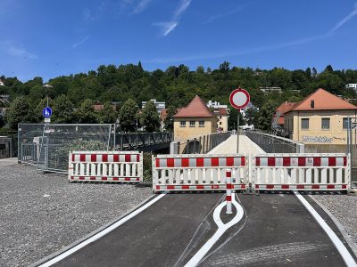
Radbrücke Ost
Bridge
456 mStop 4 to stop 5
5

Lützelbrunnen
Fountain
1.4 kmStop 5 to stop 6
6

Ann-Arbor-Brücke
Bridge
842 mStop 6 to stop 7
Evidence and review:
- AI-generated
- Automatically approved by policy
- Not editorially reviewed
More trails in Tübingen


Image credits
- Waterfront Trail Tübingen (header image): Photo: Regura (CC0) · Wikimedia Commons
- Ponte Carlo: © Dktue (CC BY-SA 4.0) · Wikimedia Commons
- Radbrücke Mitte: Photo: Dktue (CC0) · Wikimedia Commons
- Neckarsteg (Brückenstraße): Photo: Dktue (CC0) · Wikimedia Commons
- Radbrücke Ost: © Qwave (CC BY-SA 4.0) · Wikimedia Commons
- Lützelbrunnen: © Codc (CC BY-SA 3.0) · Wikimedia Commons
- Neckarsteg (Uferweg): © Karl Gotsch (CC BY-SA 4.0) · Wikimedia Commons
- Discover Tübingen: © Björn Appel (CC BY-SA 3.0) · Wikimedia Commons
- Tübingen Through the Ages: © Thomgoe; modified by Wildfeuer (Copyrighted free use) · Wikimedia Commons
- Heritage Sites in Tübingen: Photo: dktue (CC0) · Wikimedia Commons