
Nature5fcb2911…c110
Salzbach
Nature's path through Wiesbaden
Checking in counts toward these achievements:
Wiesbaden: First Steps10 pts
Wiesbaden: Explorer25 pts
Wiesbaden: Insider50 pts
The Salzbach flows from the Taunus ridge through Wiesbaden's city center to its confluence with the Rhine. It connects the natural beauty of the Taunus with the urban environment of the city.
Guided Story
As you follow the Salzbach, you'll see how it connects the natural beauty of the Taunus with Wiesbaden's urban life. Flowing for about six kilometers from the Taunus ridge, it finally meets the Rhine. Look around, and you might spot the Biebricher Wasserturm, just 386 meters to the west. The Salzbach is not just a stream; it's a living link between serene nature and bustling city life. It flows through Wiesbaden's city center, bringing a touch of nature right into the heart of the city. Imagine the water's journey from the Taunus heights to the banks of the Rhine.
Did you know?
The Salzbach measures around 15 km, including its upper course.
Location
Nearby

Biebricher Wasserturm
387 m away

Salzbach valley bridge
640 m away

Ehem. Bahnhof Landesdenkmal
478 m away

Heilig-Geist-Kirche
449 m away

Landesdenkmal
567 m away

Wäschbach
645 m away
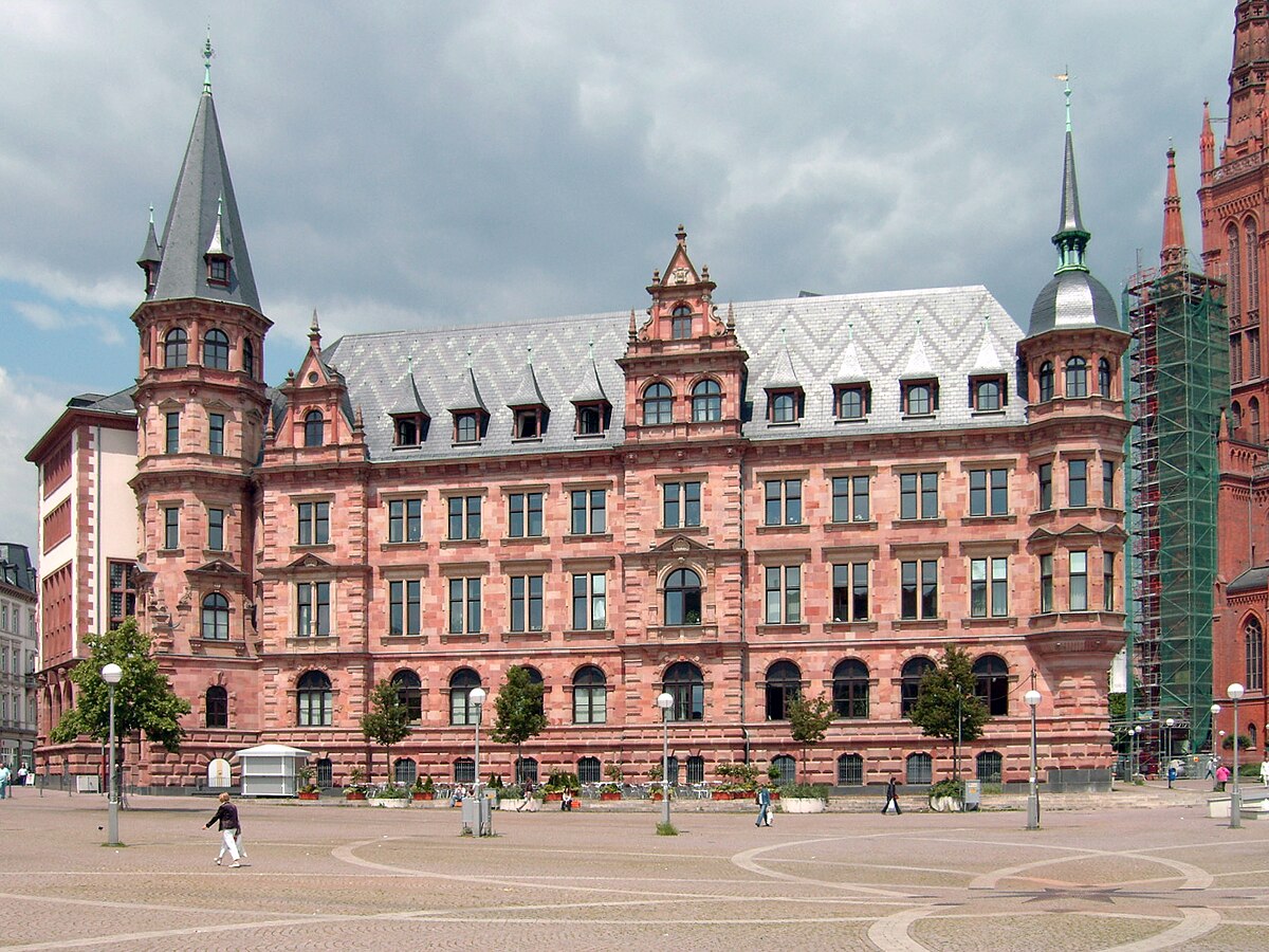
Velvets - Black & Light Theater
471 m away

Henkell-Schlösschen
536 m away
Image credits
- Biebricher Wasserturm: © Brühl (CC BY-SA 3.0 DE) · Wikimedia Commons
- Salzbach valley bridge: © Beathag9 (CC BY-SA 4.0) · Wikimedia Commons
- Landesdenkmal: © Querido (CC BY-SA 3.0) · Wikimedia Commons
- Velvets - Black & Light Theater: © Martin Kraft (CC BY-SA 3.0) · Wikimedia Commons
- Henkell-Schlösschen: © Oliver Abels (SBT) (CC BY 2.5) · Wikimedia Commons