
Offenbacher Mainbogen
An S-shaped river loop worth exploring
Guided Story
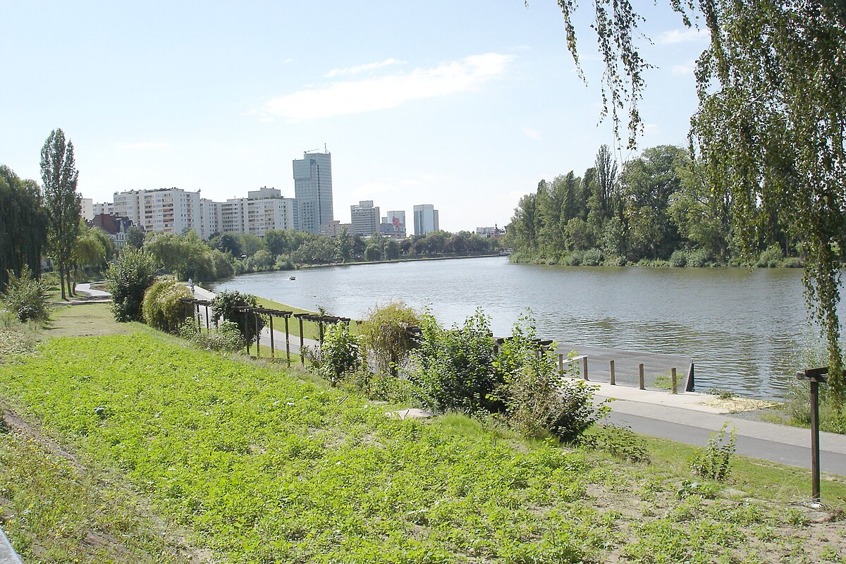
You're standing at the Offenbacher Mainbogen, a captivating S-shaped bend in the Main River that marks the boundary between Frankfurt and Offenbach. As you look around, you can witness the powerful dynamics of the river, which over centuries have carved out this distinctive loop. This section is part of the Main River, showcasing the natural river dynamics that make this area unique in Hesse. To the north, about 500 meters away, lies the Jewish Cemetery Bürgel. And to the northeast, around 800 meters away, is the Schultheis-Weiher, adding to the natural beauty of this region. Enjoy the serene atmosphere and the impressive landscape shaped by the Main.
Did you know?
This river loop naturally marks the boundary between two major cities.
Location
Nearby

Jüdischer Friedhof Bürgel

Schultheis-Weiher

Sankt Pancratius

Rumpenheimer und Bürgeler Kiesgruben

Rumpenheim Castle

Isenburg Castle
Gustav-Adolf-Kirche

Klingspor Museum
Image credits
- Offenbacher Mainbogen (header image): © rpk Upload: Lady Whistler (CC BY 2.0) · Wikimedia Commons
- Jüdischer Friedhof Bürgel: Photo: Karsten Ratzke (CC0) · Wikimedia Commons
- Schultheis-Weiher: © diba (CC BY-SA 3.0 DE) · Wikimedia Commons
- Sankt Pancratius: © German Wikipedia user DNawrocki (CC BY-SA 3.0) · Wikimedia Commons
- Rumpenheimer und Bürgeler Kiesgruben: © KUGerhardt (CC BY-SA 4.0) · Wikimedia Commons
- Rumpenheim Castle: © diba (CC BY-SA 2.0 DE) · Wikimedia Commons
- Isenburg Castle: © diba (CC BY-SA 2.0 DE) · Wikimedia Commons
- Gustav-Adolf-Kirche: © dontworry (CC BY-SA 3.0) · Wikimedia Commons
- Klingspor Museum: © diba (CC BY-SA 2.0 DE) · Wikimedia Commons